Durango Pit 2020

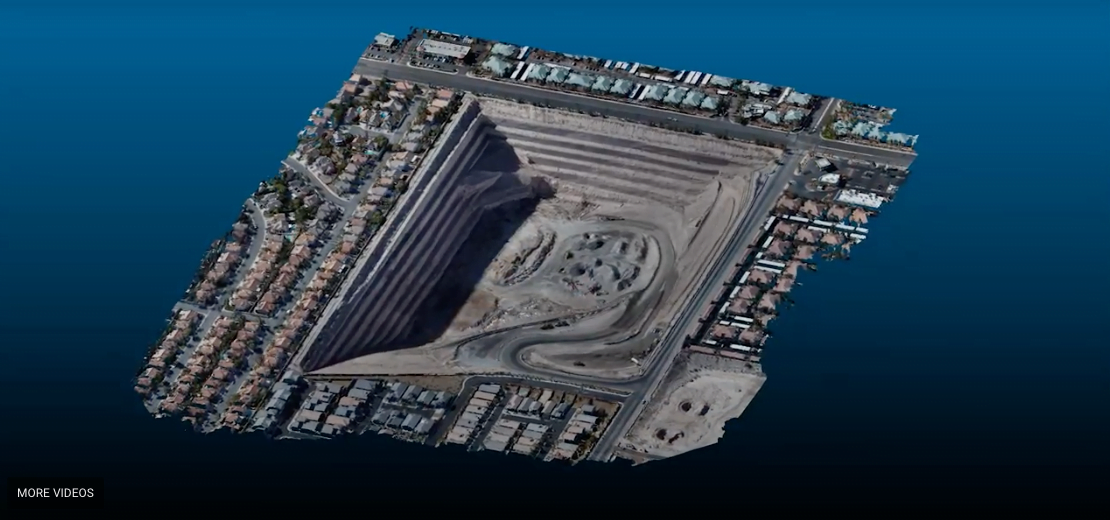
Durango Pit DataSight is pleased to share this video explaining how our proprietary algorithms and workflows enables us to provide highly accurate Civil 3D Digital Terrain Models (DTM’s) of complex environments within 48 hours of UAS or helicopter imagery capture.

More QA Eye Candy!

More QA Eye Candy! DataSight is pleased to share another successful project. With proper capture and DataSight proprietary workflows and secret sauce we routinely generate SfM deliverables that exceed NSSDA Vertical Accuracy at the 95% confidence level for 1-foot contour intervals. We deliver actionable, highly compressed DTM data in Civil 3D drawing format to our … Read more

This Website uses cookies

We use cookies to enhance your experience, for analytics and to show you offers hailored to your interests on our site and third party sites. We may share your information with our advertising and analytic partners. Find out more about cookies by reading our updated Cookies Policy, which contains further information about the cookies and other technologies we use and information about how to disable them. By clicking “Accept”, you agree to our use of cookies and similar technologies.