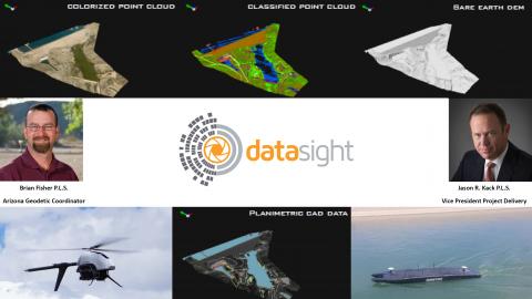
Highway and Terrain Mapping Project

Terrain products from a recent DataSight and AVIAN LLC highway and terrain mapping project where we integrated mobile LiDAR and UAS LiDAR to produced robust accurate mapping. This graphic demonstrates color LAS, classified LAS, slope and curvature data visualizations. #DataSight leading advance UAS workflows.