No shortcuts on QA at Datasight!

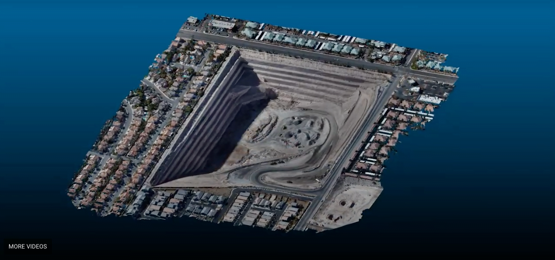
Wrapping up another great week here at DataSight. We were asked if we still did the “cool RMSE maps” that we showed in the fall of 2019. The answer is YES, every time and every project. Quality control is a fundamental step for every single project we produce.

Durango Pit 2020

Durango Pit DataSight is pleased to share this video explaining how our proprietary algorithms and workflows enables us to provide highly accurate Civil 3D Digital Terrain Models (DTM’s) of complex environments within 48 hours of UAS or helicopter imagery capture.

More QA Eye Candy!

More QA Eye Candy! DataSight is pleased to share another successful project. With proper capture and DataSight proprietary workflows and secret sauce we routinely generate SfM deliverables that exceed NSSDA Vertical Accuracy at the 95% confidence level for 1-foot contour intervals. We deliver actionable, highly compressed DTM data in Civil 3D drawing format to our … Read more

Riverbed Mapping

Riverbed Mapping Another outstanding DataSight deliverable is being produced. This riverbed mapping project was completed utilizing a helicopter for high resolution LiDAR and orthographic imagery capture. DataSight workflows and secret sauce algorithms are utilized in the final MicroStation DTM deliverable. The RIEGL VUX1-LR and Sony A6000 were the sensors we utilized on this project.

Helicopter Collection

DataSight is pleased to announce that we now provide helicopter collection and processing for LiDAR, orthographic imaging and multispectral data collection. From a few acres to hundreds of thousands of acres we have remote sensing solutions for your next project. 

We Dig Mapping!

Enjoy this data slideshow for a 500-acre UAS LiDAR and USV Bathymetry mapping project that we completed this fall. This site has heavy vegetation and considerable vertical relief. The fused ground and pond mapping deliverables are accurate and robust

DataSight Sponsoring GeoSpatial Data Aquisition

DataSight is proud to be a gold sponsor of the AFB80 summer meeting “Geospatial Data Acquisition Technologies in Design and Construction” July 22 through 25th, 2018 in Sacramento CA. The AFB80 Summer meeting will include technical presentations and field demonstrations. Event topics and demonstrations include: Unmanned Aircraft Systems (UAS), Mobile/Aerial/Stationary LiDAR, 2022 Datums, Ground Penetrating … Read more

DataSight Welcomes Lex Ivey

DataSight is pleased to welcome Lex Ivey to the team. With 20 years of experience in the geospatial industry, Lex will take the role of Director of Data Science and Visualization where he will apply his expertise and creativity toward streamlining complex workflows between data acquisition and client deliverables. In addition, Mr. Ivey’s analytical and … Read more

This Website uses cookies

We use cookies to enhance your experience, for analytics and to show you offers hailored to your interests on our site and third party sites. We may share your information with our advertising and analytic partners. Find out more about cookies by reading our updated Cookies Policy, which contains further information about the cookies and other technologies we use and information about how to disable them. By clicking “Accept”, you agree to our use of cookies and similar technologies.